
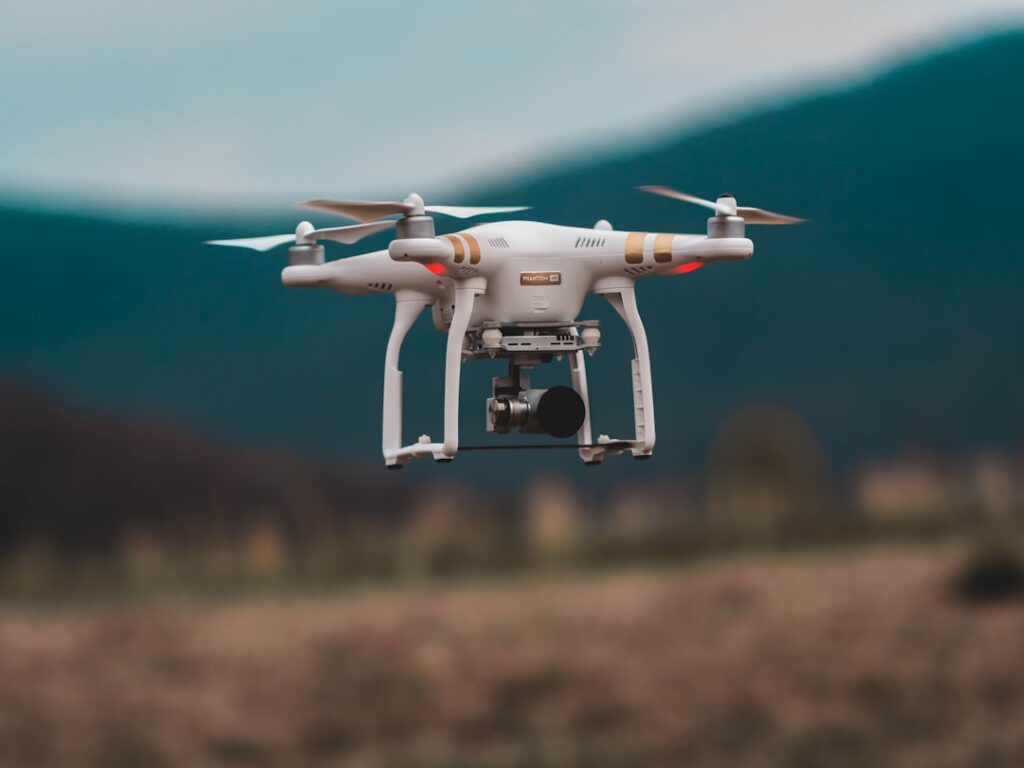

The core technology behind drone land surveying is photogrammetry. By capturing overlapping images from multiple angles, drones provide the raw material to build precise 3D models of the terrain. Surveyors often double-check drone data against ground control points to ensure measurements are spot on. This step avoids costly mistakes caused by GPS drift or poor calibration, a pitfall that has derailed projects in the past.
Many drones are also equipped with LiDAR sensors. Unlike cameras, LiDAR uses laser pulses to measure distances to the earth’s surface. One advantage is its ability to penetrate light vegetation, revealing the true ground level beneath trees or shrubs. Mining operations frequently rely on LiDAR for mapping deposits without disturbing the environment. The laser data can be dense and complex, so experienced technicians spend time filtering noise and aligning scans with established benchmarks.
There’s a mistaken belief that drone surveying involves the same red tape as piloted aircraft. In reality, drones generally operate under less stringent regulations because they fly lower and weigh less. That said, operators must still comply with local rules such as altitude limits, no-fly zones near airports, and privacy laws. Many companies assign a dedicated compliance officer to keep track of these rules and maintain proper flight logs. Skipping this step risks fines or work stoppages.
Drones have uses beyond just land surveys. Real estate developers often deploy them to inspect roofs or tall buildings that pose safety risks for human inspectors. The high vantage point also offers marketing teams fresh angles for property photos and videos. Regular drone inspections can spot issues like missing shingles or structural damage early, reducing expensive repairs down the line.
The scope of drone applications keeps expanding. In agriculture, drones monitor crop health using multispectral sensors that highlight irrigation issues or pest infestations. Infrastructure owners use them to examine bridges and power lines for cracks or corrosion, saving time and avoiding risky climbs. Environmental groups employ drones to survey wildlife habitats or track changes after natural events like floods.
Staying current on drone tech and regulations is an ongoing task. New sensors, software updates, and legal changes appear regularly. Successful companies schedule quarterly reviews of their UAV operations to adjust equipment and workflows. They also train pilots continuously to sharpen skills and maintain certifications required for commercial flights.
Before investing in drone services, businesses should study case studies relevant to their industry. Talking with providers about specific challenges often reveals practical considerations not obvious at first glance. For instance, some sites require extra ground control points due to dense tree cover or complex terrain that can confuse photogrammetry algorithms. Understanding these factors upfront prevents wasted flights and rework.
For those interested in integrating UAVs into their projects, there is plenty of useful information available through drone land surveying. Exploring detailed examples helps set realistic expectations about costs, timelines, and deliverables. Additional guidance on regulatory compliance and pilot training can be found at . Making informed decisions ensures drone technology delivers tangible benefits rather than headaches.