

These surveys depend on advanced unmanned aerial vehicles equipped with high-resolution cameras and LiDAR sensors. They cover large areas rapidly, cutting labor expenses and reducing safety hazards linked to on-the-ground inspections. For example, real estate developers use drones to create detailed property maps, improving marketing materials and reducing the need for numerous site visits.
Creating 3D models from drone data offers new possibilities in planning and design. Using photogrammetry, drones compile hundreds of photos to build accurate three-dimensional models of terrains and structures. This process benefits architects and engineers by providing a thorough understanding of a site before construction begins. Such visual data informs design changes and helps evaluate environmental effects early in the project.
Inspections also benefit from drone technology. Energy companies inspecting long stretches of power lines or wind turbines in rough terrain rely on drones to perform detailed checks without scaffolding or large crews. This method speeds up assessments and enhances worker safety by limiting exposure to dangerous conditions. Thermal imaging on drones can detect heat loss in buildings or faulty electrical parts quickly, preventing costly issues.
Regulatory compliance often complicates traditional surveys and inspections. Drones reduce human presence on-site, trimming the time and resources needed to meet legal requirements. This advantage is especially relevant in mining and agriculture, where operational delays can be expensive.
Agriculture is evolving through aerial drone surveys as well. Farmers use multispectral imaging from drones to monitor crop health precisely, identifying problem spots without walking entire fields. This targeted monitoring helps allocate water, fertilizer, or pesticides efficiently, improving yields while cutting waste.
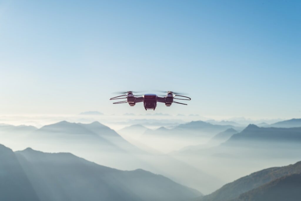
As drone technology advances, companies customize drones for specific tasks like navigating difficult terrain or capturing cinematic footage. Integrating artificial intelligence enables smarter data analysis, turning raw images into actionable insights faster. Practical field experience shows that reviewing drone data with project teams immediately after flights prevents misunderstandings and costly rework.
For those evaluating aerial drone survey options for their projects, consulting with UAV service providers can clarify how to integrate this technology effectively. Whether enhancing property presentations through detailed visuals or improving site management with accurate maps, exploring aerial drone survey options can be a worthwhile step.
In industries where efficiency matters, adopting aerial drone surveys offers a clear edge. Companies that tailor drone use to their needs can improve productivity and reduce costs simultaneously. Staying informed about practical applications of this technology ensures teams avoid pitfalls like poor data handling or regulatory oversights. For up-to-date information on drone capabilities and project-specific advice, check out drone services for industry professionals.